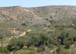
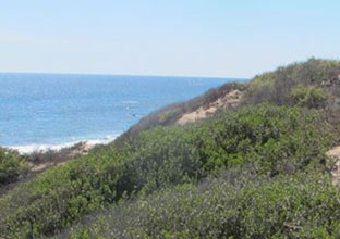
There have been two comprehensive vegetation maps created for the Nature Reserve of Orange County. The first was completed in 1992 and used through 2014. The latest vegetation map, rolled out in May 2015, covers more than 80,000 acres and required three phases to complete. The first was an initial vegetation classification effort. The second phase involved a review and editing of the classification by the California Department of Fish and Wildlife Vegetation Classification and Mapping Program (VegCAMP) and sophisticated aerial interpretation of vegetation types and ground reconnaissance conducted by Aerial Information Systems, Inc. The third and final phase was an independent accuracy assessment conducted on the ground by the California Native Plant Society. This third-party assessment tested photo interpretation efforts and feed information back into the process which improved the final map results.
The map layers and assorted supporting documentation are available below.
Vegetation Map GDB File (zipped gdb)
Vegetation Classification Report 2013 (pdf)
Vegetation Mapping Report 2015 (pdf)
Accuracy Assessment 2015 (pdf)