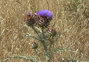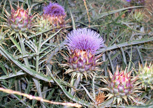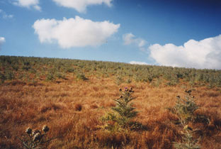
Control efforts have been successful in reducing the distribution of targeted weeds, especially artichoke thistle. In many areas of the Reserve, previously large continuous dense stands of artichoke thistle have been reduced to scattered individuals and small isolated populations. Land management strategies are adjusting to reflect this and other new invasive plant realities. The need for timely, fine-scale information on the distribution of individual plants and small populations is necessary to guide future control efforts.
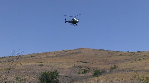
In 2011, NCC and collaborating Reserve landowners and land managers, initiated an aerial survey of the spatial distribution of artichoke thistle and 38 other invasive plant species across the Central Reserve. The Coastal Reserve was surveyed in 2014. A repeat survey of the central reserve was conducted in 2016-17, allowing for a temporal comparison of species distributions. Survey results provided new perspectives on the distribution and cover of invasive plant species, and are helping NCC and its partners prioritize and coordinate landscape-scale actions relating to invasive plant management within the Nature Reserve Orange County.
This project received funding from the following partners: California Department of Fish and Wildlife (Local Assistance Grant), Orange County Parks, Laguna Canyon Foundation, and Irvine Ranch Conservancy.
Reports
2014 Aerial Invasive Plant Survey
2019 5-Yr Aerial Survey Comparison-Central Reserve
Best Practices for Implementation of Invasive Plant Control for Resource Management on the NROC
Invasive Plant Management Protocols and Procedures for the NROC